Browser does not support script.
An important historical and ecclesiastical centre, Canterbury has a rich, yet relatively unexplored, cartographic heritage. Join our Study Day to discover more.
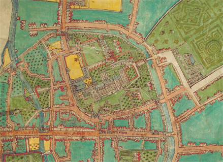
From medieval treasures to decorated estate maps, the city has nurtured a lively tradition of mapmaking that continues with the recent publication of An Historical Map of Canterbury by the Historic Towns Trust.
This study day explores the cartographic history of the city through a stimulating combination of a series of talks with an exhibition of maps from Canterbury Cathedral Archives. Local experts will present the findings of their archival research on manuscript and printed maps of the city and its environs, including the twelfth-century Eadwine Psalter and Christopher Packe’s A New Philosophico-chorographical Chart of East Kent (1743).
The display of a special collection of maps produced in and of Canterbury over the centuries and curated by the Cathedral Archives will provide a unique cartographic portrait of the city. The study day aims to provide a range of new perspectives on Canterbury that will establish its identity as a centre of cartography and offer fresh insights into the wider significance of the city’s role in the history of maps and mapmaking.
Download the event flyer
Download the abstracts
Date and time: Saturday 26 March 2022, 09:30am - 4:45pm
Location: Michael Berry Lecture Theatre (Old Sessions House, Longport) and Canterbury Cathedral Archives
Cost: £25 per ticket, or £15 per ticket for students.
Includes refreshments, lunch, and a visit to the Cathedral Archives
View our social media directory
Last edited: 29/03/2022 11:27:00